Thursday morning, July 24, found us camped on the banks of the Snake River surrounded by the hills of Eastern Washington, one of the most scenic campsites we’ve ever stayed at.
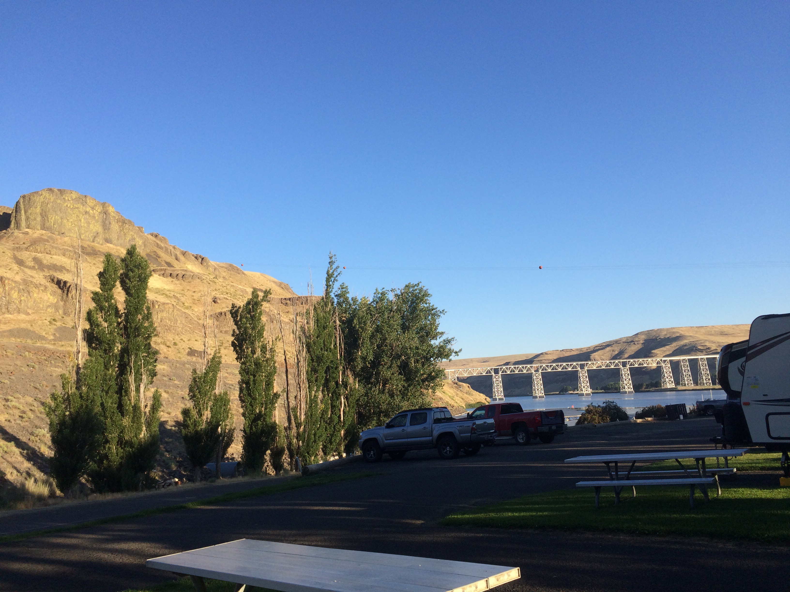
View from our Capsite at Lyon’s Ferry on the Snake River
Our destination was Seattle, to spend a long weekend with family, but first we wanted to see Palouse Falls, just a few miles away. The Palouse Falls are over 1,000 feet high and, along with the canyons beyond it, are part of the channeled scablands formed by the Great Missoula Flood, a series of glacial freezes and thaws that periodically flooded the plains of Montana, Idaho, Washington and Oregon covering the land with water that left its mark on the canyon walls. A map of this flooding shows where Palouse Falls sits in relation to the flooding.


Palouse Falls, formed by the Palouse River

Canyon created by Palouse River below the Falls
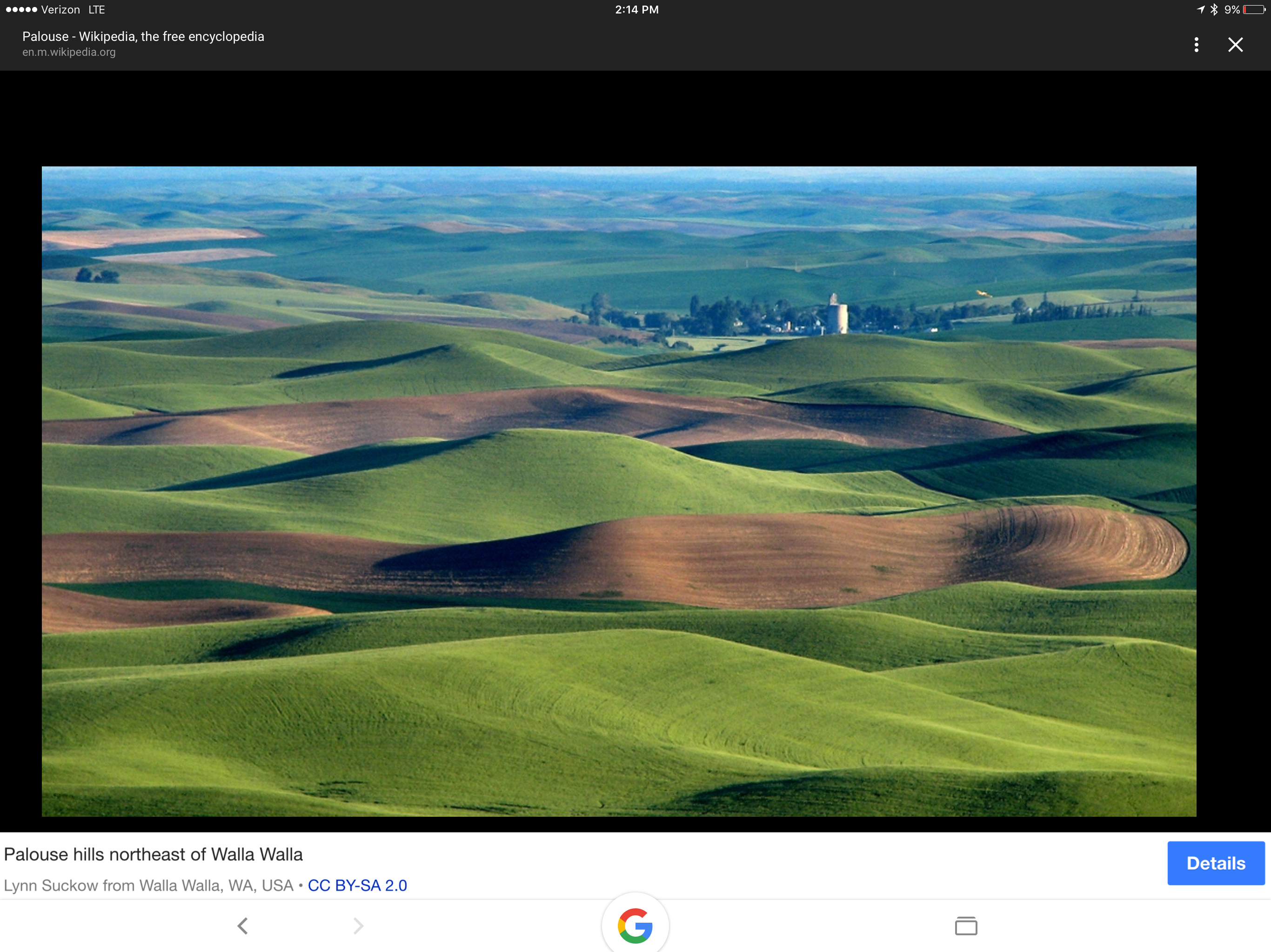
As we were headed for Seattle, much of our drive took us through land that had at one time been covered by water, and when viewed from that perspective, much of the land formations and valleys carved with ridges and channels (former sandbars?) make sense. The picture below (thank you, Wikipedia!) illustrates this far better than any of mine.