Golden Spike National Historical Park

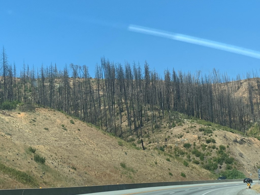
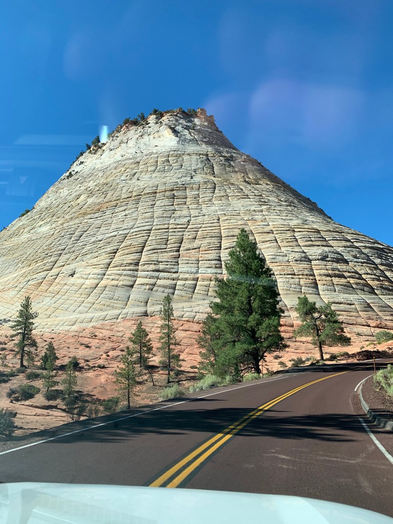
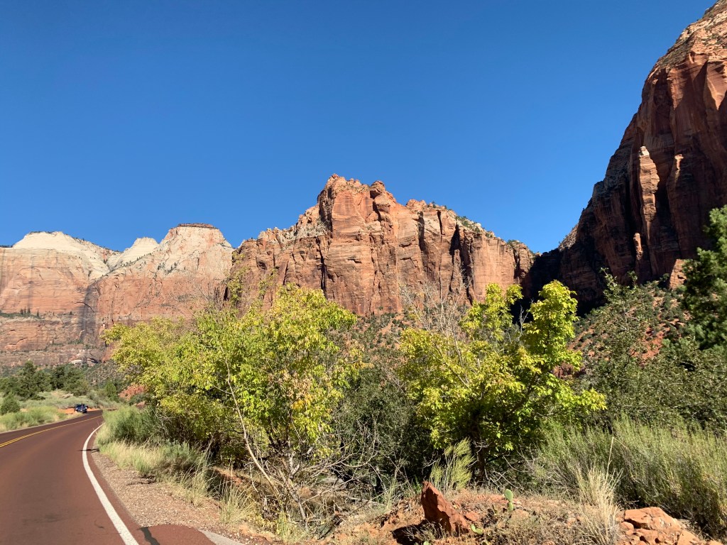
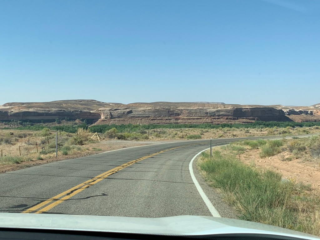
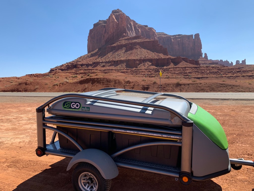
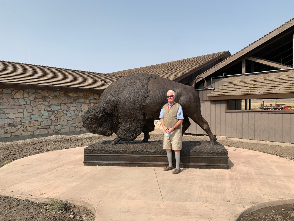
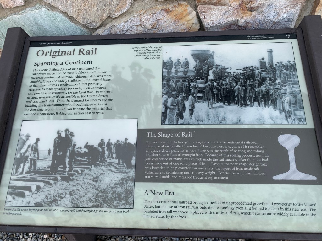
At long last we have something more interesting to report than how smoky it is out West! After spending several days trying to decipher the shadows in the haze around our car, we finally reached Utah where the air was clear, the sky was blue, and there we went to a place everything important happened a long time ago. At the end of the 19th century, one of the greatest technological achievements of our country took place: the completion of the transcontinental railroad. Envisioned and supported by Lincoln even as he was dealing with the Civil War, it finally came to completion on a specific date, May 10, 1869, with a ceremony held at their joining at Promontory Summit in Utah. At that ceremony a “golden” spike was used to complete the last link of the transcontinental railroad.

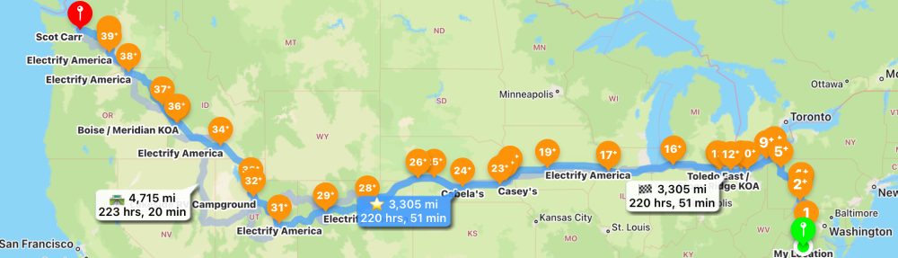
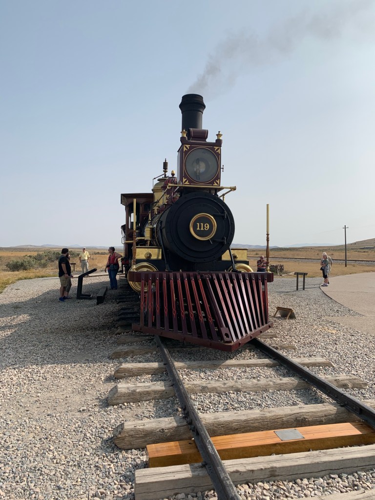
Today there is a National Park Visitor Center to mark the spot, which also boasts working replicas of the original locomotives that participated in that ceremony, the Union Pacific 119 and the Central Pacific’s Jupiter. They are lovingly tended by park staff and volunteers, and reenactments occur periodically. Although we did not see a reenactment, it was well worth out time to travel many miles into a very desolate part of Utah to visit this site.

Bison statue in front of the Visitor Center. Like most National Park Visitor Centers, it was closed for exhibits with only the book store open. However this park had many rangers outdoors to answer questions about the many outdoor exhibits.
A section of the original rail
They have reconstructed several miles of the original railroad for their reenactment. The original materials were torn up when the usefulness of this railroad diminished and the metal was used to support the WW2 war effort.
This is a replica of the final tie

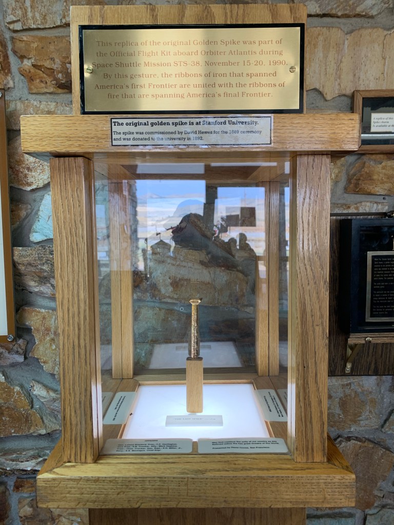
While Leland Stanford and Thomas Durant, major proponents and supporters of the railroad, attended the ceremony and were given the honor of driving the spike, both missed with their blows, which greatly amused the rag-tag crowd which attended, many of them workers on the railroad. It was ultimately completed by one of the supervisors of the project, which seemed most fitting to me.

The Czech Capital of Kansas

As we headed east for home, I was determined to find something interesting each day on the road to alleviate the inherent boredom of hundreds of miles of I-70. One of these was Wilson KS which has been dubbed the Czech Capital of Kansas. It was established in 1871 near a Kansas Pacific Railway station, and one of its first settlers was Francis J Swehla who arrived in 1874 and used the Czech-language newspapers across the US to spread word of a Czech settlement offering cheap land, rich soil, access to water, and building stone (note no mention of abundant wood.) Bohemians soon flocked to Wilson, anxious for an opportunity to maintain their Old World culture in their new homeland.

Because of a lack of wood in the area, the Bohemian settlers often lived in dugouts or huts made from bricks of sod until they could build their homes from the readily available limestone. Many of these original limestone buildings are still intact.

A famous expression of the Czech culture is the art of Kraslice, the Czech technique of egg decorating, used to create the beautifully decorated eggs above. This art is performed with a wax relief method that is meticulous and unforgiving. It requires great skill which has been maintained by the Czech artists of Wilson.

Wilson is now the location of the World’s Largest Hand-Painted Czech Egg. Beginning in 2003, efforts began with local artists to build the 20-foot-tall and 15 foot wide fiberglass egg. Fundraising took several years, including funds from the Czech Republic embassy. A description of the meaning of the symbols and designs on the egg is found in the picture below the egg.

The town has carried this theme further with much smaller eggs peppered around the town. A delightful stop for us that made my day!

Passing Through the Land of Fire

As we finally headed east, all of our best predictions had us leaving all the smoke of the West Coast behind us as soon as we were over Snoqualmie Pass in the Cascades. Little did we know that we would be far into eastern Oregon before the smoke would begin to dissipate enough for us to see beyond a mile.

This is the I-5 floating bridge in Seattle
This is the same bridge without all the smoke (and someone else’s picture — thank you!)

In addition to the lack of visibility, there were always new fires on the horizon; we were constantly checking all of our apps to make sure the roads we wanted to use were open. In some cases, they were closed before we got to them and we had to reroute. Fortunately, we were never close to the fires (although with all the smoke it’s hard to know how close they might be). But it is very strange to be driving along and suddenly realize that there is a huge hill right next to you that feels like a giant who’s been watching you arrive, or to see a huge castle in the distance that morphs into a grouping of grain elevators. It is a great way for the imagination to go wild.

By evening we were in Wallowa at a lovely campground on the Wallowa River, and our evening sky was much clearer.

Morning brought us a new day that had a heavenly start with a fresh cinnamon bun from Kaufman’s Market in La Grande.

I wish I could take this market home with me, or else move next door to it. It’s a Mennonite community market with some of the most remarkable cheeses and meats from the local farms, as well as baked goods that all looked as appetizing as this one.

We ended the day in Idaho, unable to to do our Hell’s Canyon drive because the canyon was filled with smoke. We have to come back again! By the end of the day, although we still did not see a bright sun and blue sky, the visibility was much better, and I’m hoping that tomorrow we will have no more wildfires on our horizon.

Architecture in Seattle

Because our social distancing has kept us from heading out to museums or shops or other places where we’ll be mingling with a lot of people, we haven’t had much to report in the way of new sights we’ve seen. But a very special one was shared with us by our son whose architecture firm Public47 has been building state-of-the-art structures in Seattle for many years. He shared with us a private tour of one which his firm recently completed, a five-story apartment building named Inspire/Bridgeway, which is notable for many features not the least of which is that it is 105% energy efficient.

The apartments are fairly small, the majority about 350 square feet; each has its own balcony.
The roof deck generally has a beautiful view of downtown Seattle. Not on this day!
The building is completely electric, with these solar panels providing all the energy required. They are remarkably sturdy. and can even be walked on with a power washer to keep them clean, a critical necessity if they are to be efficient.

For more information about Public 47 and for some much better pictures of this project taken on a much clearer day, please check out http://public47.com/portfolio/bridge_way/.

Afterwards we toured the offices of Public 47. Below is the office where these ideas first come to life, and are often followed by a model of the proposed project. The picture below is the model for Inspire/Bridgeway.

Architect’s model of Inspire/Bridgeway

Afterwards we drove through Seattle, where just a few blocks away even the Space Needle was fighting to be seen through the smoky haze.

Traveling through Wildfire Country

As we headed into California, we knew that we getting close to the wildfires that have plagued the West Coast for the past weeks, but we hadn’t realized that they would be close enough for us to see and smell. In San Rafael, we stayed fairly close to home, heading to the coastal towns to find some cooler weather than the unseasonably hot 100+ degrees they were experiencing. Sometimes we could see the smoke billowing from hills several miles away. Every trip was made with awareness as to where the fires were now and to the air quality. Smoke came and went…and we got on with our lives.

That said, I was rather stunned to learn that our family that was hosting us were fully prepared to evacuate if necessary. Their computers, mementos, photos were all within instant reach to throw into their cars. It made me think of the times I’ve stood in the middle of battlefields and thought about what it would feel like to know there was an enemy just over the hill that wanted to destroy everything and everyone on the other side. That really makes you establish your priorities as you consider your response.

So what is it like to travel through wildfire country?

1) You’re constantly referencing websites and apps that give you (you hope) the latest on where the fires are burning, so you can avoid the roads.

2) Campgrounds may be filled with evacuees. In San Rafael, we saw one tent city in a park with people who’d had to leave their homes.

3) The skies tell a story of their own, with the winds bringing in smoke that changes the color of the skies.

The morning sun in San Rafael
An evening sunset in San Rafael

One of our more harrowing moments was in southern Oregon, where a small billowing white cloud became a large billowing white cloud before our eyes, with periodic moments of darkness close to the earth that I could envision being red.

We were driving ON OR 31 straight towards this fire on US 97; fortunately the road turned away from the fire.
We saw plenty of these former burns along the road. Amazingly, the forest begins to regenerate very quickly, although it still takes many years to recover.

I will admit that I’m not used to the discomfort of being surrounded by real or potential wildfires, or with the first thought of the day being “where is it burning now?” Yet everyone was getting on with their lives and none of our plans were defeated by the fires, so I’m grateful for that. Where we live now in Virginia, we have the threat of earthquakes, floods, tornadoes, and even some fires. So I wonder why I’m more comfortable there than here?

Death Valley

Death Valley has always been an intriguing place that we have wanted to explore. With names like Hell’s Gate, Dante’s View, Desolation Canyon and Badwater Basin, how much more appealing could it get? We realized that we were taking on a special challenge when we saw all the warnings as we approached the park: carry water, have a full tank of case, carry more water, don’t rely on cell phones or GPS, drink the water you’ve brought, don’t approach wildlife, avoid canyons during rain storms, keep out of mines, and be sure you have enough water and stay hydrated.

We did all of the above, and for extra good measure we stayed inside our air-conditioned car 99% of the time, because our first foray out of the car proved to us that the heat was quickly debilitating. We reached a high of 111 degrees, with 109 about the average during the few hours we spent in the Valley. You truly are isolated because there is no wireless signal, and even the helpful navigator on our iPhone was out to lunch for the majority of our trip. Fortunately there are few roads and we had a pretty clear idea as to how we would traverse the Valley. What we didn’t realize that once through the valley we would still be driving for hours through some of the most desolate parts of California. It was one of those experiences you (or we, at least) do once in your life, and we’re glad we did, socially distanced to the max!

Approaching Death Valley.
Taking a break. 5 minutes at 100 degrees + can be very draining.
Some of the borax fields found near Twenty Mule Team Canyon.
Heading out of the desolation of Death Valley
One of the few plants we found in abundance in the desert.
Our Trust GOCarr and CarrGO got us through alive and well. Quite an experience!

All this is the music of waters.

The above is an 1895 quote from John Wesley Powell, one of the early explorers of this region of Utah. Zion National Park is a remarkably beautiful mixture of soaring mountains and richly colored canyons, all forged over thousands of years by the Virgin River. The river is now a trickle, but the mountains and canyons are still there with plenty to be viewed from a winding road through the park that includes an awesome tunnel built when the park was created in the early 1900’s. This tunnel has openings that give you a unique glimpse of the mountains up close and was one of the highlights of our trip.

Checkerboard Mesa
Every turn of the road brings a new view of the mountains and canyons.
Zion-Mt. Carmel Tunnel is 1.1 miles long and has about half a dozen cut-outs that give you a unique view of the mountains.
Swirling patterns show clear evidence of water sculpting of the rocks.
Zion is a geologist’s dream, with so much history to be seen in the many striations of rock.
Kolob Canyon is a smaller section of Zion National Park about 20 miles northwest of the main park. There is a a 10 mile winding road to the top of a viewpoint where we ate lunch in the only shady spot around (with a million bees for company.) By this time, the temperature was already in the high 90’s, very hot and dry.
Kolob Canyon is famous for this Kolob Arch, which requires hiking into the canyon which we didn’t do. This photo is thanks to some generous person who shared their photos online. Thank you!

While Native Americans lived here for many years before it was discovered by the pioneers, it was named Zion by the Mormons who came to settle nearby because it meant “promised land” and “sanctuary.” It is very easy to feel the peace of time standing still for a few moments when you’re surrounded by so much beauty, but in reality time is steadily moving forward with all the forces of nature moving very slowly but steadily to continue to change the terrain.

“Long before today’s landscape even appeared, streams, oceans, deserts and volcanos deposited thousands of feet of mud, lime, sand, and ash. The immense pressure and heat of acccumulating sediments turned lower layers to stone. Later underground forces uplifted the Colorado Plateau, a 130,000-square-mile mass of rock, over 10,000 feet above sea level. Rain’s watery fingers then worked the Plateau’s minute cracks, loosening grains and widening fractures—and eroding today’s mighty canyons. These processes continue: rivers still deposit sediments that turn to stone, earthquakes still punctuate the Plateau’s upward journey, and erosion pries rockfalls from Zion’s seemingly immutable cliffs. Eventually this beautiful canyon will melt away and others will form. All it takes is time.” Excerpt from NPS Brochure

Traversing the West

From the plains to the mountains…

Because of our intentional self-distancing, much of the middle of our trip cross country has been spent in the car driving and looking out the window at all the scenery passing by. After Kansas we headed into Colorado, Utah, and Arizona, and back into Utah. Our route took us through so many different types of land formations that every turn in the road brought something new and different. Below are some of the best pictures I could take from our car windows.

The mountains come on gradually…from bumps in the road ahead to…
…roads that are bounded by tall rock structures…
…of all different colors.
Mexican Hat Rock
Glen Canyon Dam
Stopping for a snack in the middle of Monument Valley
More Monument Valley
Lake Powell in the distance, substantially lower than normal, and has been for years.

There are many more photos I could include, but you get the idea. It is an other-worldly place, one where all the politics and problems of the lives we’ve left behind have disappeared, your mind can wander in all kinds of directions. There is a great peace about land that might be considered wilderness by some, but for me is a land of great opportunity for the imagination. There is no place on earth like it, and it’s well worth driving across the country to see.

The GO on the Road

As we were preparing to set off on this new adventure, some of you were probably wondering how life would be with our new GO camper on the road. We were too! In retrospect we realize it’s a bit daunting to take on a 25 day journey without having tried our new rig out for at least one night at a campground closer to home first. If we had we would have quickly learned we didn’t need to bring so much stuff. So we’ve been identifying with the pioneers who headed west in the 1800’s and have been slowly dropping things off along the way to lighten our load. That said, we still have things we hope to give away to our families on the West coast. We will definitely lose weight on this trip!

But as for the GO, it is performing exactly as promised, (although we do have a few design suggestions for SylvanSport.) IMHO, the rig is the most civilized way possible to do tent camping, in that you’re sleeping off the floor on a reasonably sized “bed”, and the fact that you have a table suspended in the middle of the camper enables you to dine, work, play games, and do a lot of things we do comfortably at home. With a carpeted floor you can go barefoot and the bed creates a very luxurious sofa if you want to lean back with your feet up. We’ve rigged it with a power cord in the side wall, so we can easily plug in all our devices, lamps, and even an electric kettle for tea and coffee. The windows are designed to allow as much cross-ventilation or privacy as you may want, but the tent structure has enough give to it so that when the wind blows or the rain falls you get that great cozy feeling of being protected inside.

The biggest challenge for us has been learning new rules of teamwork for this rig. In our previous RV, our job descriptions were fairly well defined over the 15 years we owned it. This one has a number of separate tasks, some of which are best handled by one person, but plenty that require coordination between 2 people. It has enough elements of tent camping like inserting collapsible rods to create the infrastructure or setting up the beds where two can do it more easily than one, so we’ve had a bit of a learning curve. But every set-up and take-down have gotten more streamlined with each day on the road.

The GO on the road is fantastic; you barely know it’s behind you when you’re driving, and when I do see it there, it reminds me of a very loyal puppy who follows you everywhere and just wants to please. (The perfect pet — it doesn’t eat or poop!) It’s only decreasedthe mpg of our RAV4 a bit: we should be getting 40 and we’re now getting 33.

So overall we’re very happy with our GO both on and off the road. We have yet to see another one in our travels, so a few people have been intrigued enough to come over and ask about it. But in general the campgrounds we’ve stayed at have not been crowded, and mask-wearing is definitely the norm wherever we’ve ventured indoors. We’ve also been taking a lot of backroads where the traffic is minimal and social distancing is a given. We’re staying safe and life is good.